
Scout
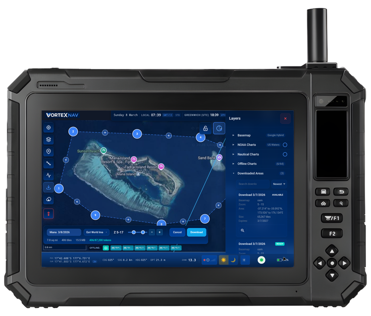
Scout combines satellite imagery, charts, weather and live vessel data to deliver clearer navigation, smarter decisions and safer boating.
Scout combines licensed high-resolution satellite imagery, ENC charts, weather, live vessel data and NMEA 2000 information on PolarisOS, its proprietary navigation operating system, on a rugged, portable device. Its unique chart-imagery slider reveals differences between charts and actual conditions, while offline mapping, Anchorage Safety Cautions, Anchor Watch, collaborative routing and digital vessel documents deliver greater awareness, safer decisions and a more connected boating experience.
Released on: 25 March 2026
More information:
Click here
Categories
Product category
Marine electronics & Marine related software:
Electronics, Navigation
Downloads
Brochure
Brochure
Product Presentation
Product Presentation